How Cape Cod Became Cape Cod
A Brief History

The Beginning: A Name Earned by Fish
This story starts, like so many other American stories, with a European explorer who couldn’t believe what he was seeing .
In 1602, an English sea captain named Bartholomew Gosnold sailed south from Maine.
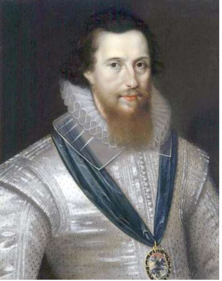
Copyright New England Historical Society
When his ship reached the hooked arm of land jutting into the Atlantic, he noticed something remarkable: the waters were so full of Atlantic cod that his crew could practically scoop them up with their hands.
Long before Gosnold arrived, the Cape was home to the Wampanoag people. The Wampanoag, or “People of the First Light,” had lived on the Cape for thousands of years, fishing the same waters, harvesting the same shellfish, reading the same tides.
They called this land Nauset, Monomoy, and Mashpee. They had dome-shaped homes built from wooden frames and woven mats; they farmed the sandy soil; they had generational knowledge of this place — its currents, its seasons, and all its gifts.
When the English settlers arrived in the 17th century, the Wampanoag taught the newcomers which plants were edible, how to fertilize the sandy soil, and how to process the blubber of the whales that came ashore on the outer beaches. The relationship ended in dispossession and violence. If you want to learn more about the history, spend a day at the Plymouth Plantation Museum. The Wampanoag Nation continues to exist today, centered in the town of Mashpee. If you come to the Cape around the 4th of July, the annual PowWow is a must-see.
Whaling as the Cape’s Great Industry
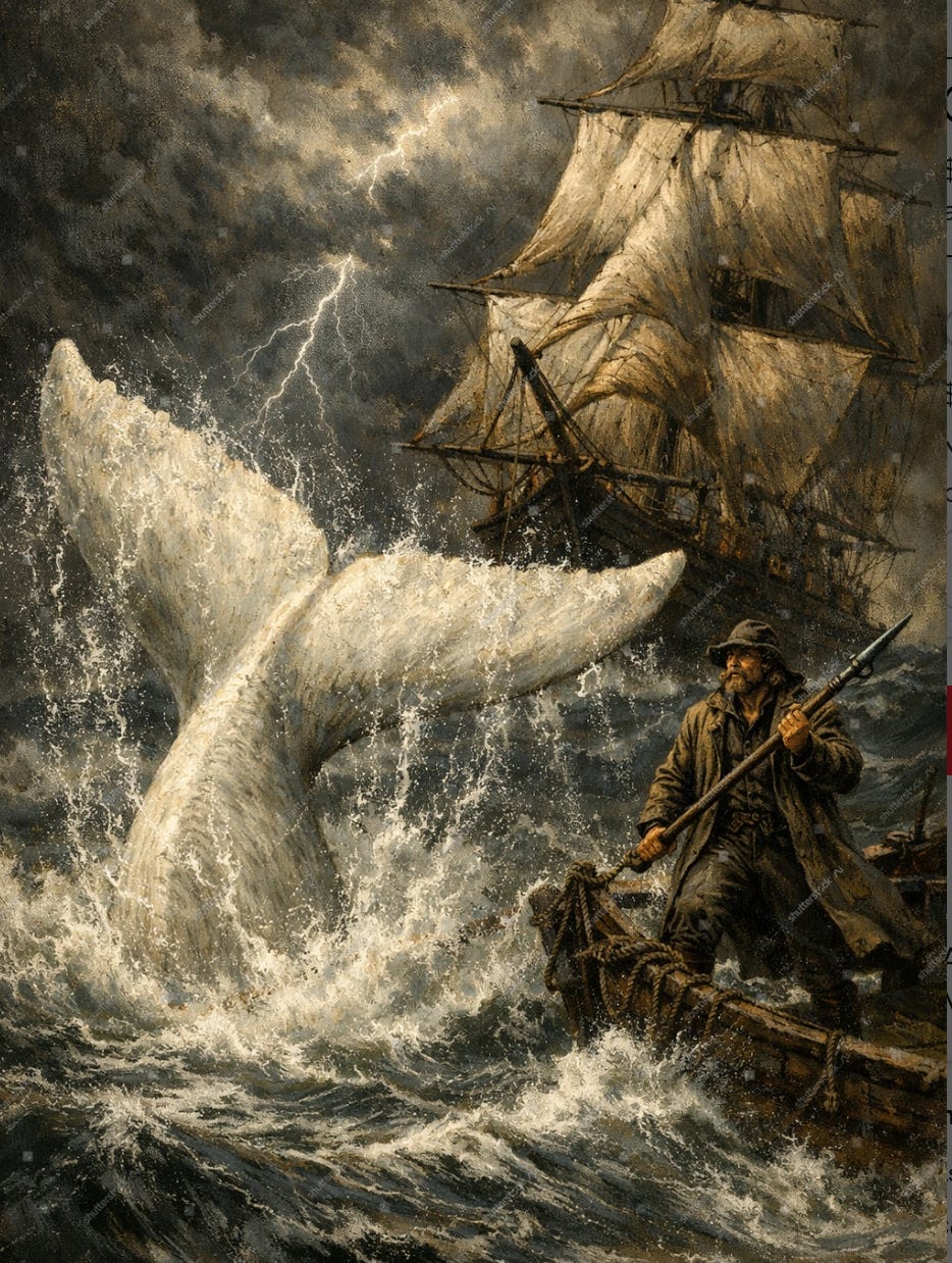
By the mid-1700s, whaling became the Cape’s great industry. Towns like Provincetown, along with other harbor towns, sent ships far out into the Atlantic to hunt sperm whales, whose blubber was rendered into oil that lit the lamps of America and Europe. Once again, the generosity of The Wampanoag, who had shown settlers how to process beached whales centuries earlier, became a source of income to Cape’s residents. The wreck of the Nantucket whaleship Essex, attacked and sunk by a sperm whale in 1820, even served as the inspiration for Herman Melville’s Moby Dick.
It turned out that the residents of the Cape were not the best stewards of its resources. The whale population had declined, the forests had been stripped, and by the mid-19th century, the Cape’s economy was contracting, leaving the sandy, scoured landscape exhausted.
Henry David Thoreau, who walked the Cape in the early 1850s, described what he found as “a vast morgue, where famished dogs may range in packs — the most uninviting landscape on earth.” Not exactly a tourism brochure.
What Thoreau saw as ruin, however, he also saw as beauty. His journals, published posthumously as Cape Cod in 1865, became one of the first pieces of Cape Cod marketing.
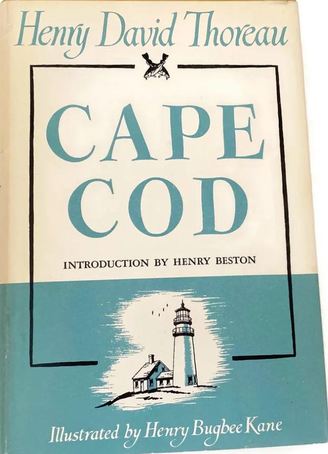
An early edition available from an Etsy Seller
Cape Cod Becomes a Tourist Destination
Two things happened in the 1870s that changed Cape Cod forever.
The first was Thoreau’s book, where he wrote about walking the outer Cape beaches, sleeping in lighthouses, and watching the surf pound the dunes (all of which, except sleeping in the lighthouses, you can still do today!). He wrote about the Cape with a mixture of wonder and philosophical provocation that made people want to experience it for themselves.
The second was the railroad. In 1848, the first train service from Boston began, and by 1873, the railroad was extended all the way to Provincetown, forever changing
Cape Cod’s economy has transitioned from a working maritime region to a summer tourist destination. Suddenly, Thoreau’s Cape Cod was accessible to anyone in just a few hours, and tourists filled the villages of Falmouth, Sandwich, Chatham, and Provincetown.
Today, unfortunately, train service is very limited. The Cape Fyer, runs from Memorial Day to Labor Day on weekends. You can also enjoy a scenic train ride through The Cape on Cape Cod Dinner Train, make an evening of it!
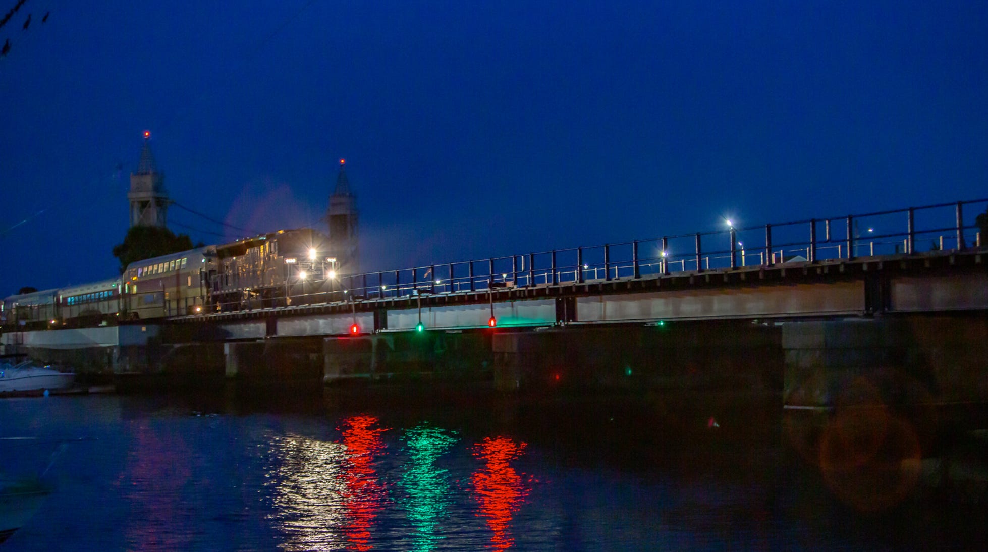
Cape Flyer photo credit redberryphoto.com
The Big Dig: The Cape Cod Canal
For centuries before the canal, reaching Cape Cod by sea meant sailing around the entire outer arm — past the treacherous shoals of the Outer Cape, through waters that had claimed hundreds of ships and countless lives. The idea of joining the Manomet River and the Scusset River had been around since at least 1623, when Miles Standish observed that a canal route would be useful. Even George Washington gave it consideration. But no one could make it happen.
Enter August Belmont Jr. — the Gilded Age financier who had already built New York City’s first subway and whose name graces Belmont Park racetrack. Part of Belmont’s reason for involving himself in the digging of the Cape Cod Canal was his deep affection for his maternal grandfather, Commodore Matthew Perry, who lived on Cape Cod. Perry had opened trade with Japan to the West in 1854; appropriately, the ceremonial first shovelful of earth for the canal occurred on June 22, 1909, at the Perry farm in Bourne.
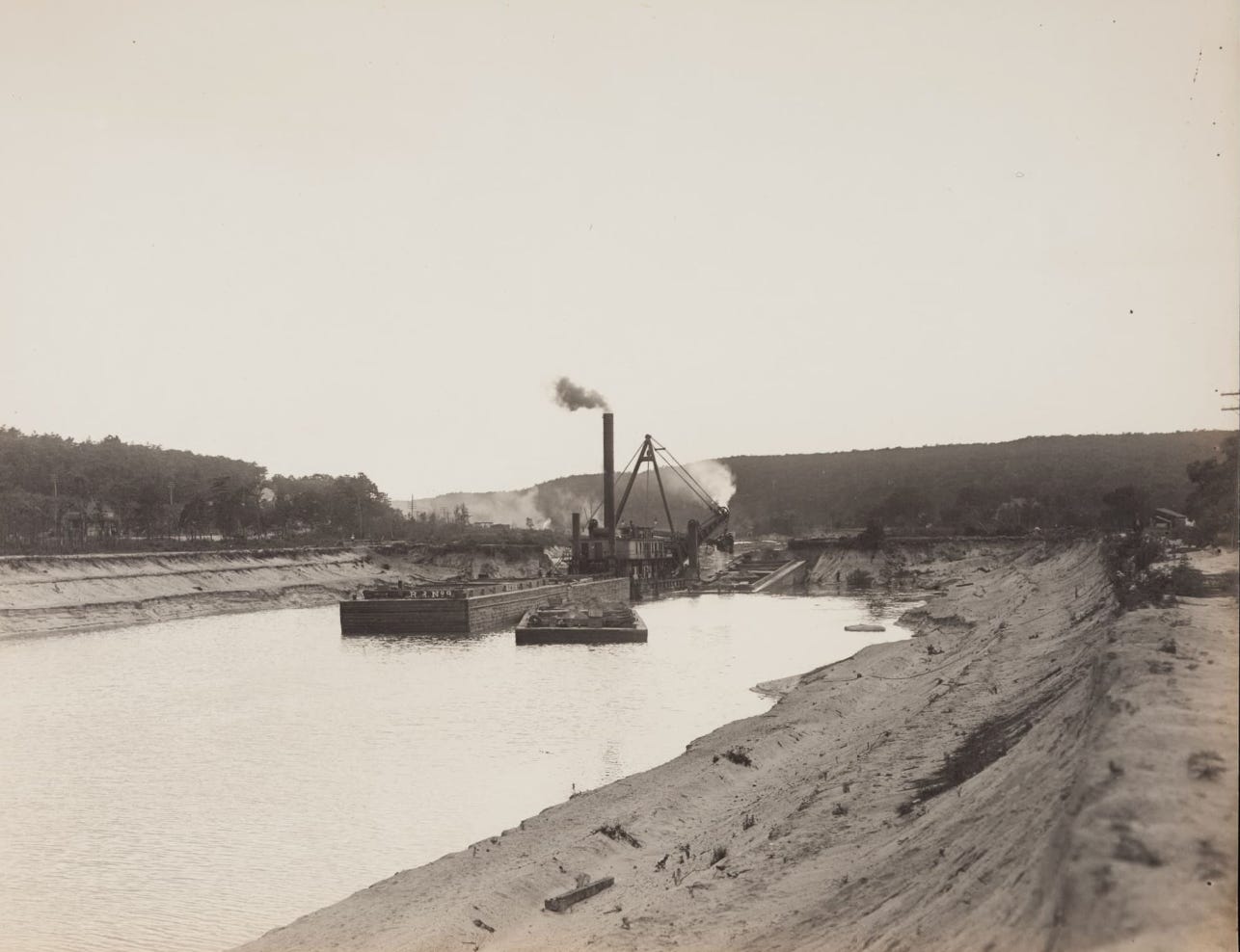
Photo credit Historic New England
The construction was a genuine feat of engineering and human endurance. Workers encountered massive glacial boulders beneath the surface. Divers were hired to blow them up with dynamite, a slow and dangerous process that extended construction by two years beyond Belmont’s plans. Boats sank, and six workers died building the canal. Construction of the canal meant relocating houses, roads, railroad tracks, and a cemetery; building new depots; and erecting three high bridges across the new canal to replace the old river bridges. The history of the Canal’s excavation is a story well worth reading about.
On July 4, 1914, Cape Cod suddenly became an island, and the distance by boat between Boston and New York became shorter by seventy miles. As shovels cut into the top of the last dike, water from the high tide in Cape Cod Bay rushed through to join the lower tidal waters of Buzzards Bay. On July 29, 1914, the Cape Cod Canal was opened as a privately operated toll waterway with a parade of ships that included the then-Assistant Secretary of the Navy Franklin Delano Roosevelt. In a detail Belmont reportedly savored, the canal opened seventeen days before the Panama Canal.
The canal’s early years were rocky; tolls were high, the channel was narrow and tricky to navigate, and the financial returns never matched the investment. The U.S. government took control of the canal in 1918 in the interest of national security. In 1928, the government bought out Belmont altogether and embarked upon a series of improvements. The U.S. Army Corps of Engineers widened and deepened the canal through the 1930s into the broad, 480-foot waterway we cross today on the Bourne and Sagamore bridges.
Those bridges, opened in 1935, made the Cape genuinely accessible by automobile. And the automobile changed everything.
The 20th Century: Cars, Highways, and the Making of “Olde Cape Cod.”
Improved roads and affordable automobiles opened the region to tourism, and by the 1930s, the Cape had assumed its place in the popular imagination as an idyllic and still unspoiled landscape of beaches, scenery, and unique cultural heritage.
The local business community formed the Cape Cod Chamber of Commerce in 1921 and began to market the concept of vacationing on the Cape in earnest. Elisabeth Shoemaker was the Madison Avenue marketing executive they contracted to create the notion of “Olde Cape Cod.” The branding effort was deliberate and sophisticated — selling not just a place, but a feeling: timeless, unspoiled, distinctly New England, a respite from the modern world.
It worked. Through the 1930s and 1940s, the Cape grew as a summer destination — though not without the era’s ugliness. Many resorts and planned communities were exclusionary, barring anyone but white Protestants from staying or purchasing, with brochures from resorts declaring “Jewish patronage not desired.” Simultaneously, pockets of inclusivity were growing.
The Cape became nationally known for its summer stock theater, and The Wizard of Oz premiered at the Cape Cinema in 1939. The Storyville jazz club drew stars such as Sarah Vaughn and Benny Goodman. Provincetown emerged as a destination for LGBTQ+ people.
The construction of the Mid-Cape Highway (Route 6) in the 1950s marked an important milestone in Cape Cod’s growth, enabling travel from the bridges to the Lower Cape. The postwar economic boom put automobiles in every driveway and vacation time in every calendar. Cape Cod’s population swelled every summer.
And then, in 1957, a song made the Cape famous in a way that no marketing campaign ever had.
“Old Cape Cod”: The Song That Put the Cape on the Map
In 1957, the sand dunes, salty air, and villages of Cape Cod were made famous worldwide by a single hit song. Patti Page, a 30-year-old singer originally from Oklahoma, had never been to the Cape when she recorded “Old Cape Cod.”
The song almost didn’t happen. The nucleus of the song was a poem written by Boston-area housewife Claire Rothrock, for whom Cape Cod was a favorite vacation spot. She brought her poem to Ace Studios, a Boston recording studio, and eventually approached Page at a Boston nightclub where the singer was performing. Page recorded it during a day trip to New York and rushed back in time for that evening’s performance. It was intended as the B-side of her next single.
“Old Cape Cod” quickly became the dominant track, peaking at number three on Billboard’s Most Played by Jockeys chart. It sold over a million copies and was certified gold. Hailed by Cape Cod natives as the “unofficial Cape Cod Anthem, if ever there was one,” the song has been credited with “putting the Cape on the map” and helping to establish Cape Cod as a major tourist destination.
The Cape Cod Chamber of Commerce later said of the song: “We think she put the Cape on the map. Before the Kennedys, before our successful marketing ever did it, she did.” In 2010, a street in Barnstable was renamed Patti Page Way. The song has never really stopped playing.
The Kennedys, the National Seashore, and the Cape We Know Today
The postwar boom that filled Cape Cod with summer visitors also threatened to consume it. By the 1950s, the erosion of Cape Cod’s charm was evident to many. The scale and type of construction changed abruptly during the postwar era. Midcentury modernism became a dominant architectural idiom, and new, larger motels, restaurants, and other businesses lined busy roads. Housing subdivisions were being planned for the outer Cape’s wild dunes and beaches.
Adding to the Cape’s appeal was the Hyannis Port summer residence of the new president, John F. Kennedy. The Kennedy compound made Cape Cod the summer home of Camelot — photographed, romanticized, and associated with a particular kind of patrician New England ease that became part of the Cape’s identity for decades.
More lastingly, in 1961, President Kennedy signed legislation establishing the Cape Cod National Seashore, a wide stretch of stunning beaches and national parks that remains one of the most popular destinations for visitors. Housing subdivisions were once planned for the seashore, but now the coast is protected from development.
The Seashore encompasses 40 miles of Atlantic coastline from Chatham to Provincetown. It is, to this day, one of the great conservation victories of 20th-century America. Every time you stand on Nauset Light Beach or Race Point with nothing manmade visible in any direction, you’re standing in the result of that decision.
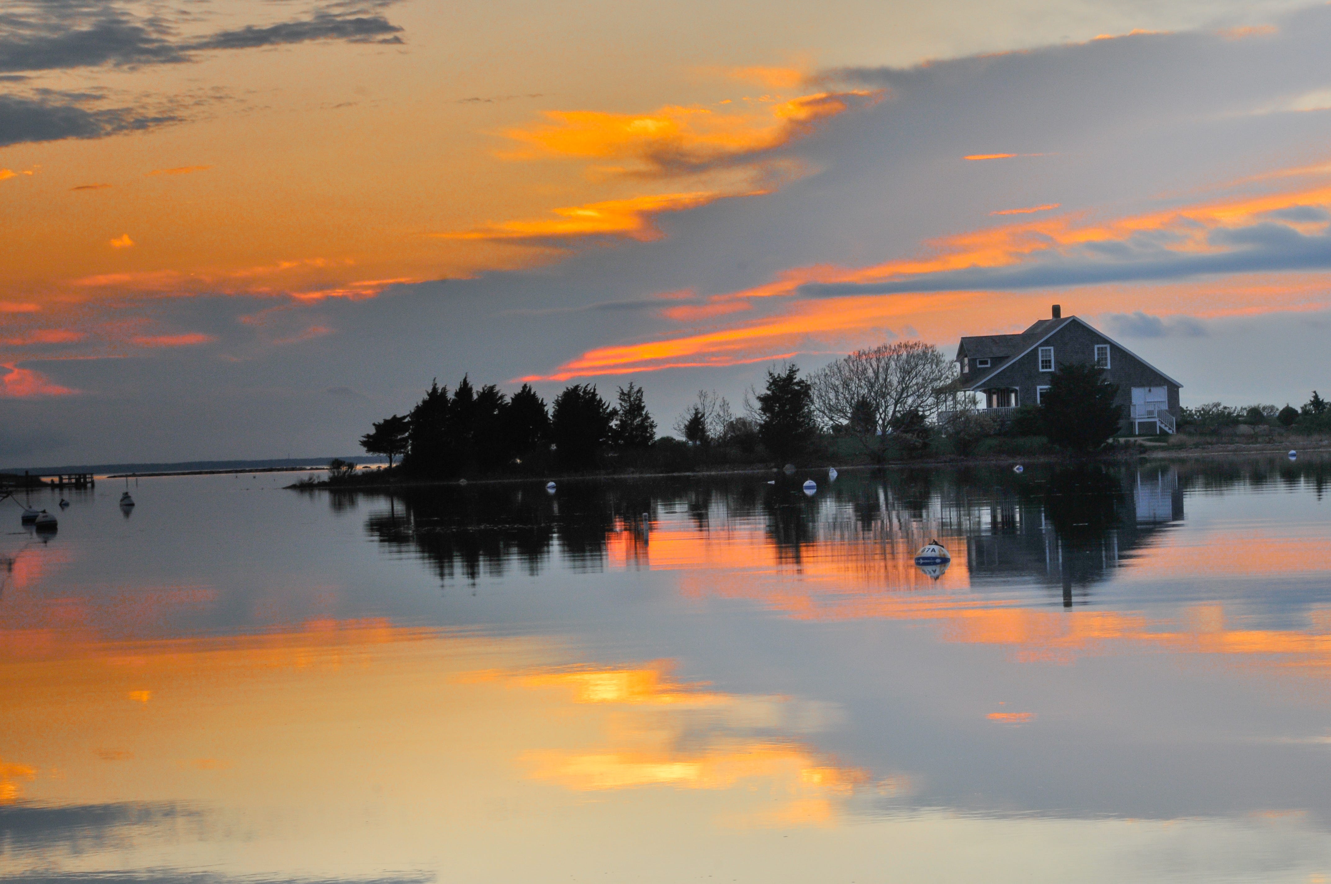
photo credit redberryphoto.com
The Cape we visit today — the tidal flats and the boardwalks, the lighthouses and the dune bluffs, the lobster rolls and the weathered shingle houses — is the product of all of this history: Indigenous knowledge, fishing economies, Thoreau’s words, a railroad, a canal dug by hand, a Chamber of Commerce campaign, one song, and the quiet political act of protecting forty miles of coastline from development.
It’s a lot to carry in a photograph. But it’s there.